Baidoa
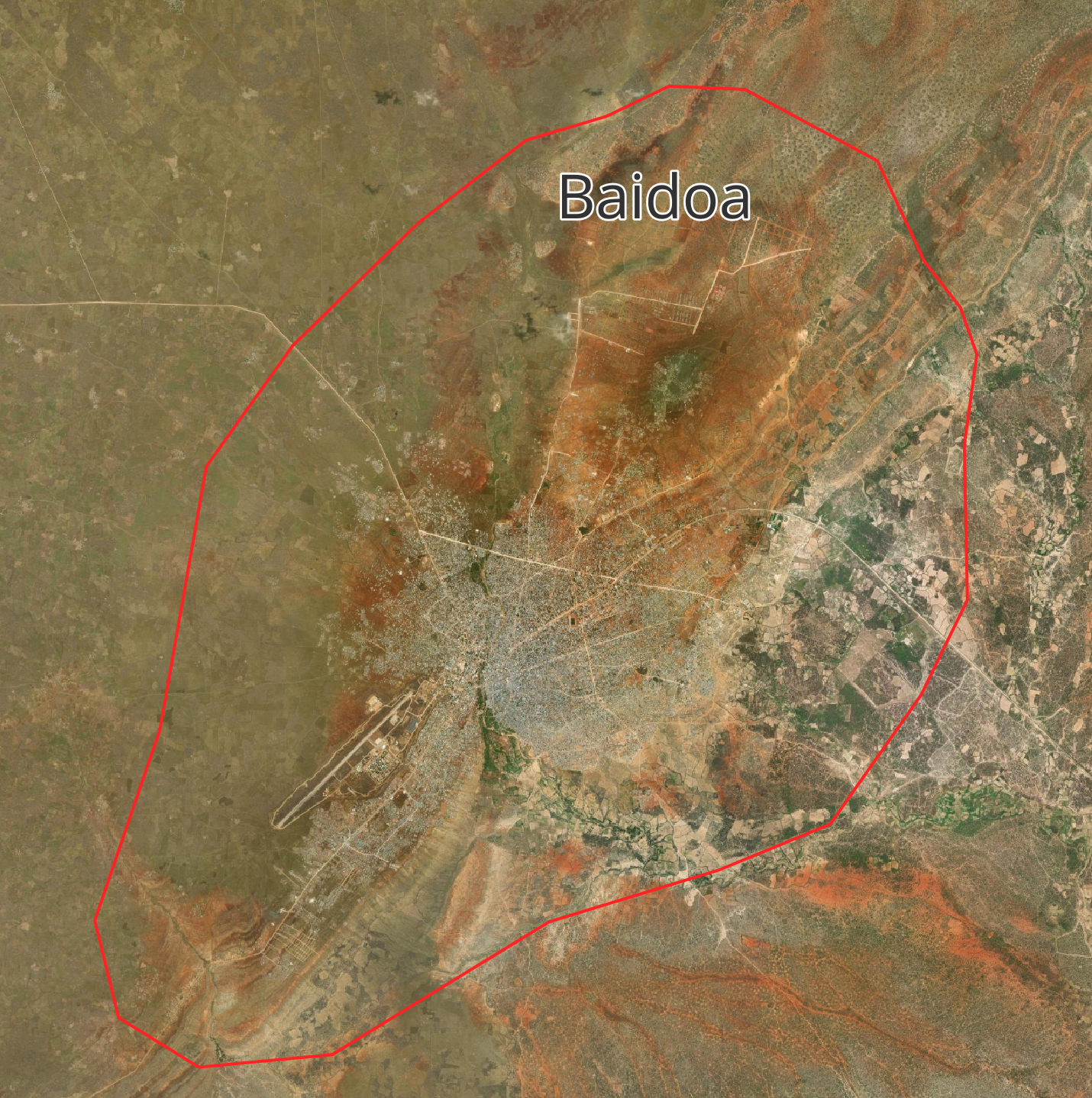
Bay RegionBaidoa is the administrative capital of South West State and a major centre for government, trade, agriculture, humanitarian services, and urban development.
The Somalia Municipality Risk Dashboard currently focuses on seven municipalities supported under the Nagaad Project. These municipalities represent diverse geographic, environmental, humanitarian, and urban development contexts across Somalia.
The dashboard brings together hazard, exposure, infrastructure, humanitarian, and environmental datasets to support municipal planning, disaster risk management, infrastructure investment, and evidence-based decision-making.
Baidoa is the administrative capital of South West State and a major centre for government, trade, agriculture, humanitarian services, and urban development.
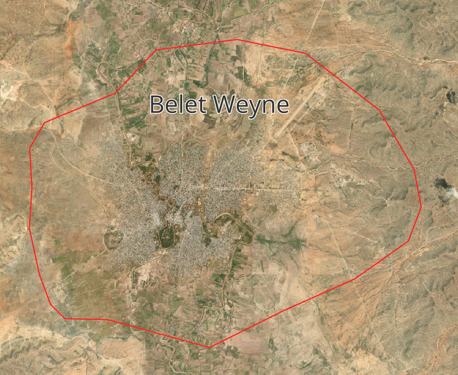
Beledweyne lies along the Shabelle River and is highly exposed to recurrent riverine flooding, displacement, infrastructure damage, and service disruption.
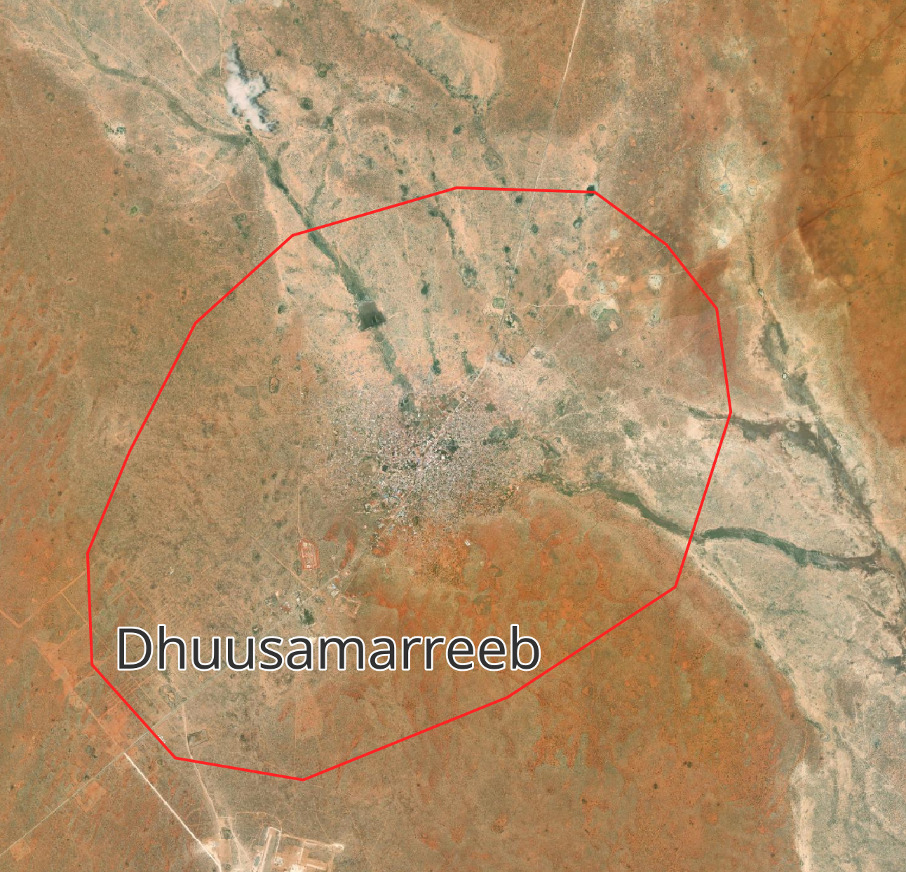
Dhuusamarreeb is the administrative capital of Galmudug State and an expanding centre for governance, infrastructure, commerce, and public services.
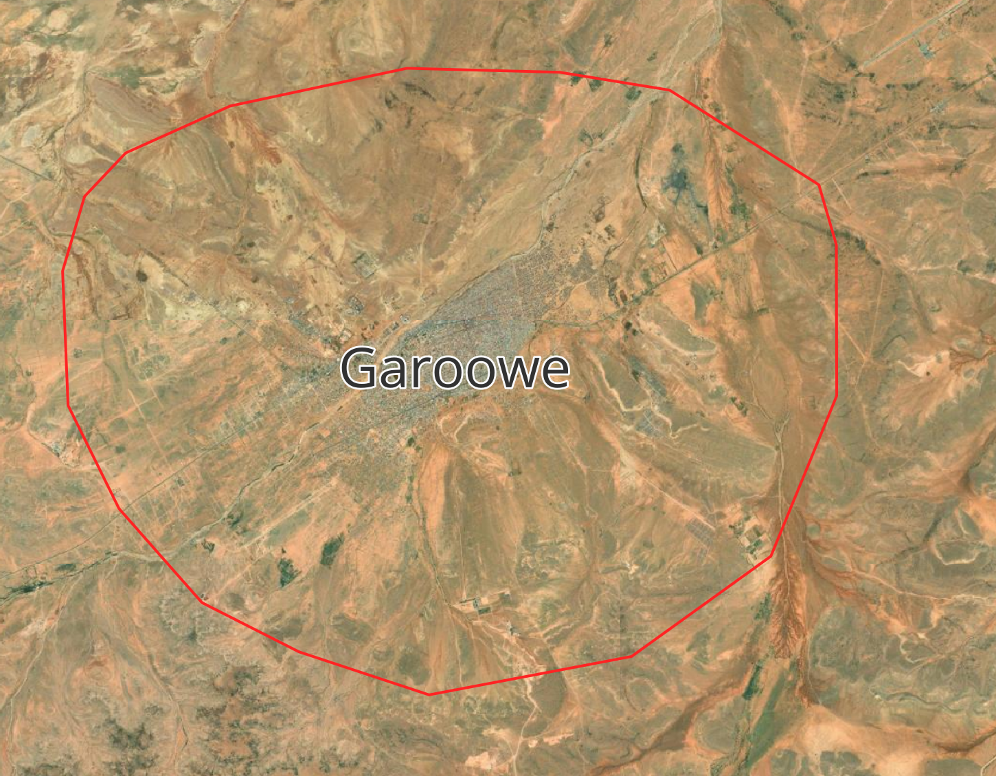
Garoowe is Puntland's administrative capital and an important centre for governance, education, commerce, infrastructure, and regional planning.
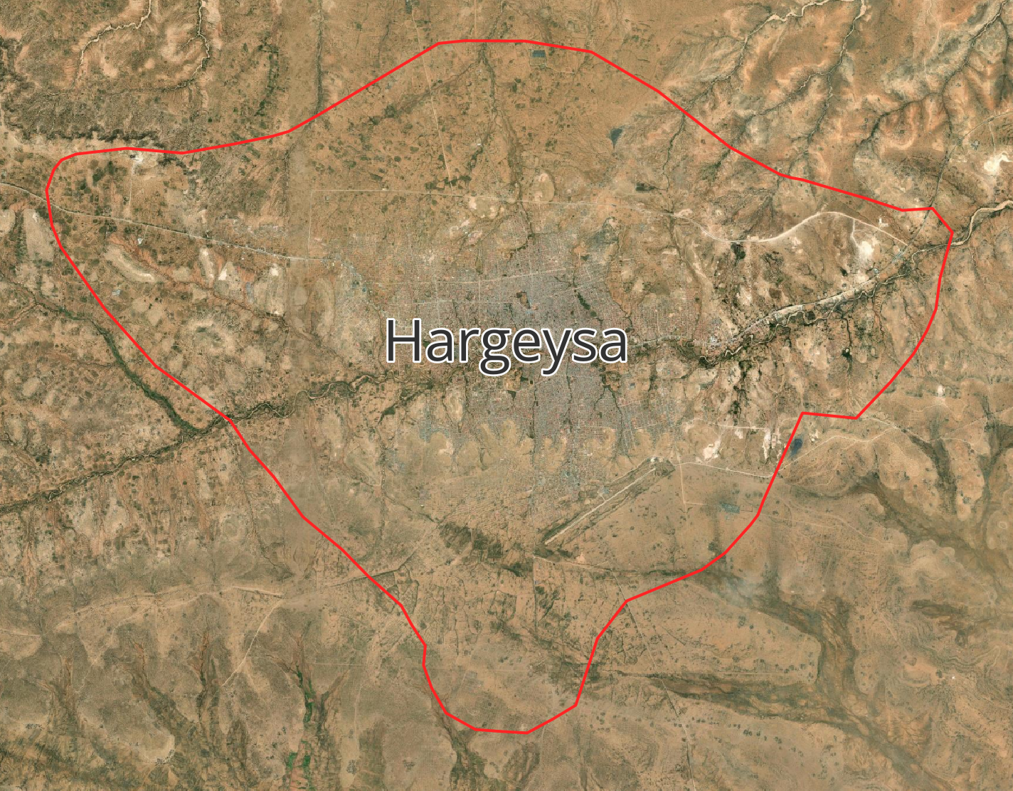
Hargeysa is a major administrative and commercial centre experiencing rapid urban growth and rising demand for housing, transport, water, and services.
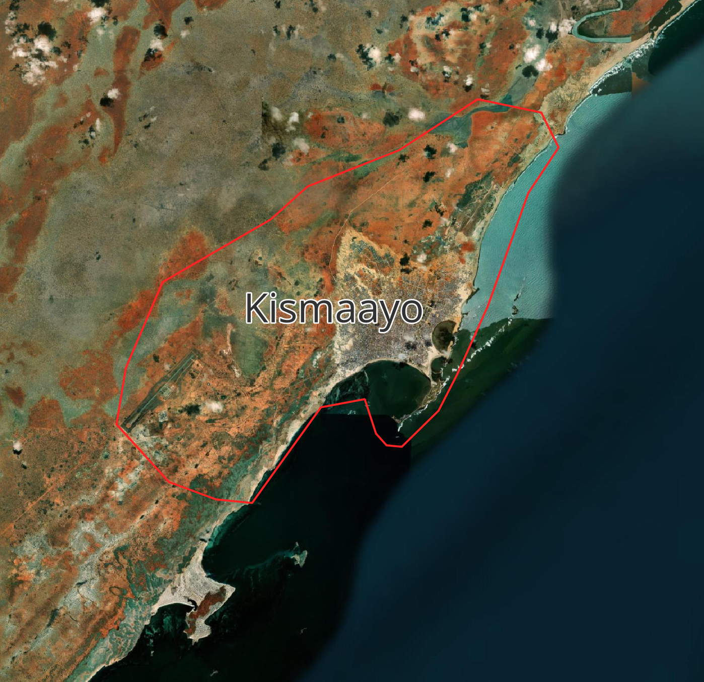
Kismaayo is a strategic coastal city and port, supporting trade, fisheries, agriculture, logistics, and wider regional commerce.
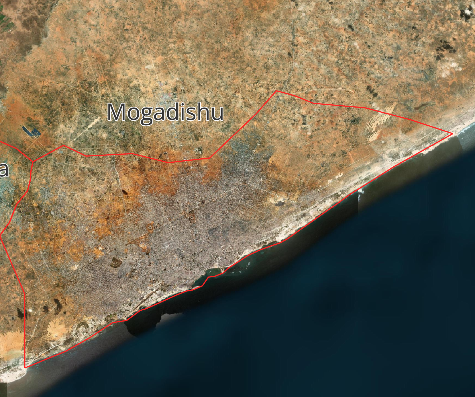
Mogadishu is Somalia's capital and largest city, with major roles in government, commerce, transport, services, and national infrastructure.
These municipalities were selected as priority urban centres under the Somalia Urban Resilience Project Phase II (SURP II) - Nagaad Project (P170922). Project Overview Together, they represent a broad range of risk and development conditions, including riverine and urban flooding, drought, displacement, conflict exposure, coastal risks, infrastructure gaps, and rapid urban growth. The dashboard provides a common geospatial platform for comparing these risks and supporting municipal resilience planning.
| Settlement | DTM ID | Municipality | Region | Category | Class | Households | Individuals |
|---|